Satellite overview · field decisions
See the wider pattern. Check the right places.
Satellite imagery can help frame a question across a wider area. QuickIoT helps connect that overview to a scoped, human-reviewed field check—not a promise of continuous or ready-made monitoring.
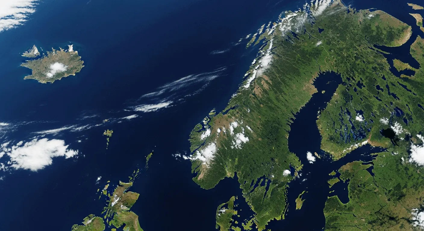
The useful question
Where should a person look closer—and what would they decide?
A broad image is a starting point for discussion. Together, we define the area, change or condition of interest, the time period and the practical decision. Local knowledge and on-site checks provide context before anyone acts.
A scoped path from image to action
Start with the decision, not the imagery.
- 01
Frame
Choose the area, question and the decision the work should support.
- 02
Check
Review imagery availability, date, resolution, cloud cover and suitability.
- 03
Ground
Compare candidate observations with site visits, local sensors or people who know the area.
- 04
Decide
Record what is supported, what remains uncertain and whether another check is worthwhile.
Before proposing a pilot
A few practical checks shape the scope.
- Define the area, question, time window and an observable outcome.
- Confirm suitable imagery is available for the place and period; coverage, resolution and cloud cover can limit interpretation.
- Agree who can access and review source material, and how observations will be validated on site.
- For a closer aerial inspection, assess aircraft, camera, operator, safety and required permissions separately. No autonomous flight is implied.
From satellite overview to people on site
See the shape of a place. Choose where to look closer.
Start with an overview of the area and focus on the places that need attention. We help you use satellite imagery to identify changes and plan targeted checks with local sensors, field visits and people who know the site.
Notice → understand → decide → act → follow up.
Falk is our drone-supported field inspection approach for a closer look at a specific question. We scope the task, choose the right information and define what you need to decide afterwards. Satellite imagery, sensors, GPS, cameras and human fieldwork are selected to suit the assignment.
Plan your first area assessmentScope and prerequisites are agreed per assignment, not a ready-to-use satellite service: imagery, cloud cover, resolution and acquisition time; aircraft, camera, operator and flight permissions for Falk. LiDAR requires compatible devices.
This page describes a proposed way to scope customer work. Imagery, interpretation, field equipment and permissions are checked for each assignment. Nothing on this page confirms an operational customer deployment or verified result.
Practical reading
Satellitöverblick
Från områdesbild till en riktad kontroll på plats
Knyt satellitunderlag till en avgränsad fråga och mänsklig fältkontroll. Med ett konkret områdesexempel och ett arbetsblad för bildtillgång, referenser och beslut.
View the paper outline
- Behov och nuläge
- Användningsfall och datakällor
- Tekniskt upplägg
- Pilot och utvärdering
- Begränsningar och beslut
- Därför QuickIoT för detta uppdrag
- Ett konkret arbetsexempel
- Arbetsblad att använda internt
- Underlag inför ett första uppdrag
Discuss a specific area